Articles
What is a pons in the environmental plan?
Created by

Struck Team
Communication
For many municipalities, building the new environmental plan (omgevingsplan) under the Environment and Planning Act (Omgevingswet) is still very much a work in progress. Instead of switching everything over overnight, they’re gradually swapping out old zoning rules section by section.
That’s where a key concept comes in: the pons. If that sounds a lot like the Dutch word for punch card (ponskaart), that’s no coincidence. Early computers stored data through absolute binary logic—hole vs. no hole, 1 vs. 0. A map in mid-transition works the exact same way. Every time a neighborhood shifts to the new rules, it gets "punched out" of the old map (a 1). The rest stays solid for now under the legacy system (a 0). Until the full migration is finished, planners are basically staring at a giant, real-world punch card—a living patchwork of ones and zeroes evolving one hole at a time.
How is the environmental plan structured?
During the transition period, every municipality works with an environmental plan made up of two parts. The first is the environmental plan by operation of law (omgevingsplan van rechtswege): the collection of old spatial plans — zoning plans, amendment plans, inset plans, preparatory decisions — that remain in force until they are replaced. The second is the STOP/TPOD section: the permanent environmental plan the municipality builds itself, including the bridging rules (bruidsschat).
During the transition, municipalities gradually replace those spatial plans with rules in the permanent section. That creates a technical problem: which rules apply, and when?
What is a pons and why is it needed?
It is technically impossible to cut a section of land out of an existing spatial plan. And if a municipality removes a plan entirely, the whole plan disappears. Without further action, the Regels op de Kaart viewer would show both the old zoning plan and the new environmental plan rules when a user clicks on a location — two frameworks at once, for the same area.
The pons solves this. It is an object in the environmental plan through which a municipality formally records that all old spatial plans for a given area have lapsed. Within the pons location, the Rules on the Map viewer then shows only the STOP/TPOD section. Outside the pons location, the old plans remain visible as before.
In short: the pons is the moment at which a municipality makes the transition to the environmental plan final for a specific area.
When do you use the pons?
The pons affects all spatial plans within the designated area. You therefore only use it once the zoning plan and any amendment plans, elaboration plans, inset plans, management regulations, exploitation plans and preparatory decisions in that area have all lapsed.
Each municipality has one pons, which grows over time as more areas transition to the permanent environmental plan.
Who submits the pons, and how?
A municipality submits the pons to the LVBB (National Publications Facility), together with the decision to amend the environmental plan. The pons covers the area where the spatial plans have lapsed — and does not need to be a contiguous area.
The decision must include an article specifying which plans or parts thereof have lapsed, and referencing the pons and the associated pons-GIO.
What are the limitations of the pons?
A few practical points to bear in mind. The pons only works if the search area in the DSO viewer falls entirely within the pons location — if a user selects a larger area, old plans will still appear even within the pons location. In addition, the pons has no effect on TAM-IMRO plans; those remain visible within the pons area. And finally: the pons itself is not visible in the viewer — only its effect is noticeable, as the spatial plans disappear from the document list.
What changes in Struck after a pons?
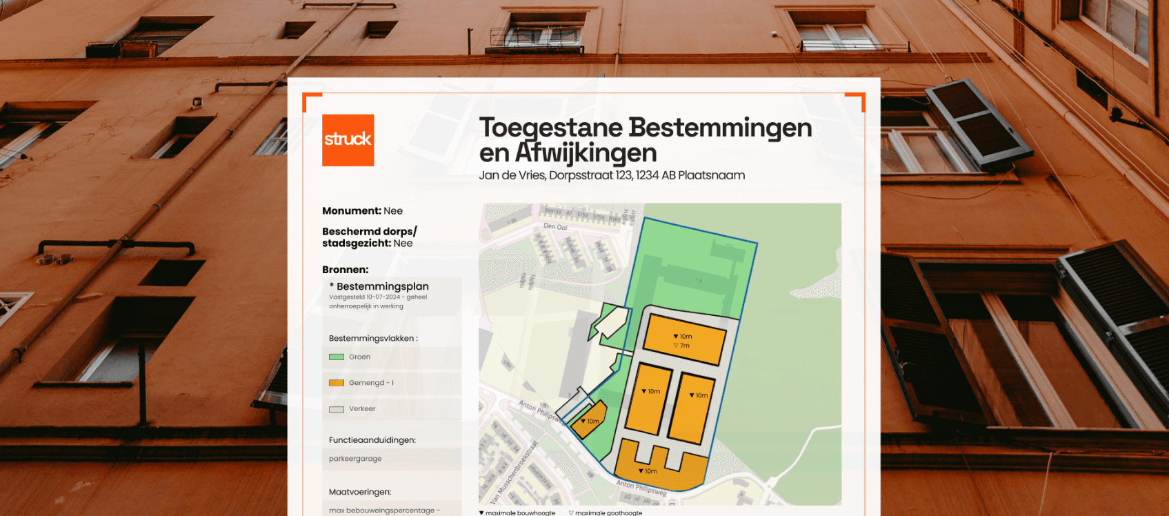
Once a municipality has applied the pons, Struck can process the associated documents in a fundamentally different way. The new data structure makes it possible to search more precisely within the plan, reference specific provisions more accurately, and reason more intelligently about the legal status of a location.
For municipal staff, environmental advisors and other professionals who work with environmental documents every day, this makes a significant difference.